
SKY360 / SERVICES / GEORGIA
Find your
next perspective.
Creative imagery and technical capture, shaped around your property, project, and purpose.
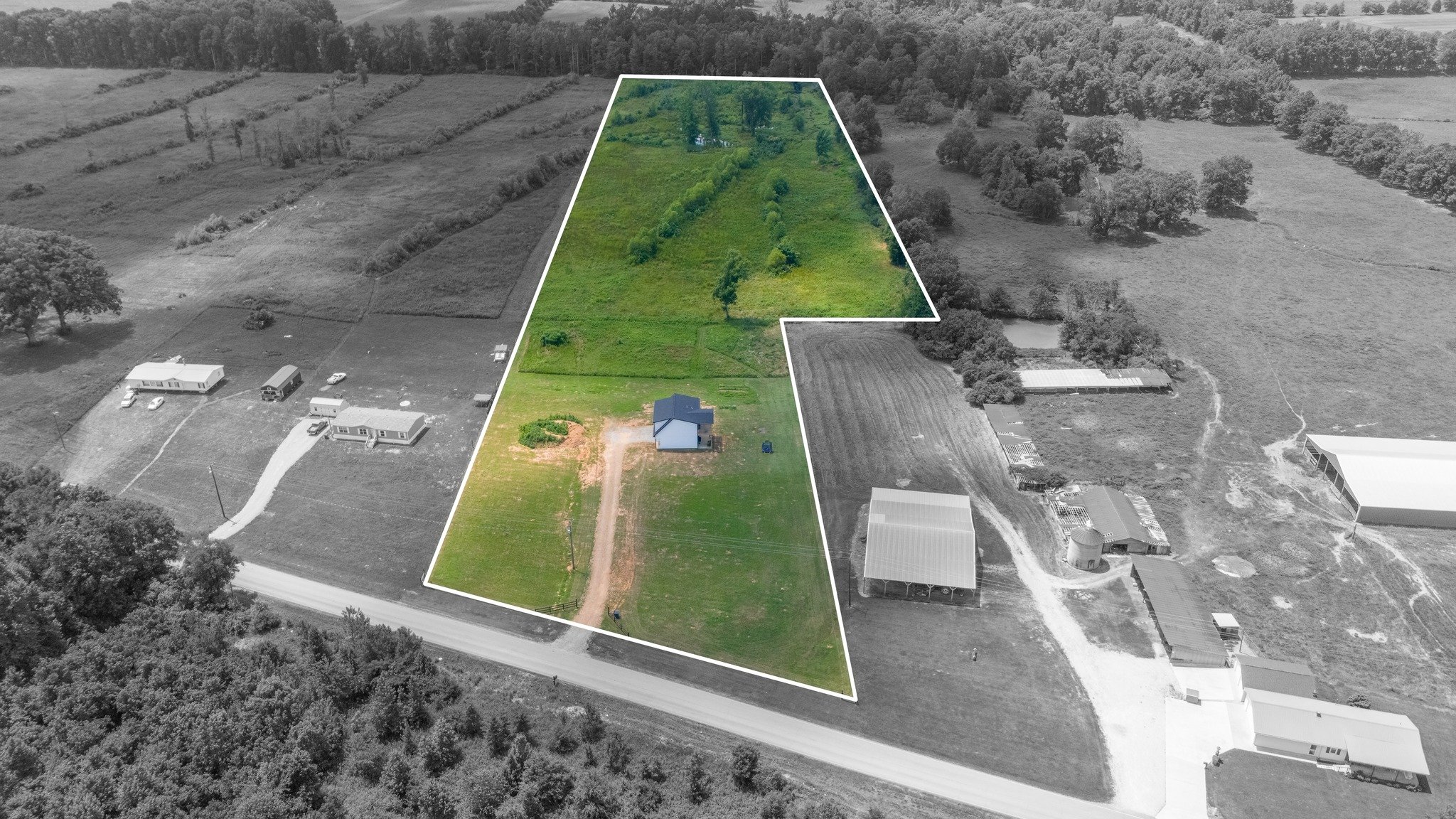
Land Photography & Video
Aerial photography and films that help buyers understand the parcel, its setting, and its possibilities.
Explore the service ↗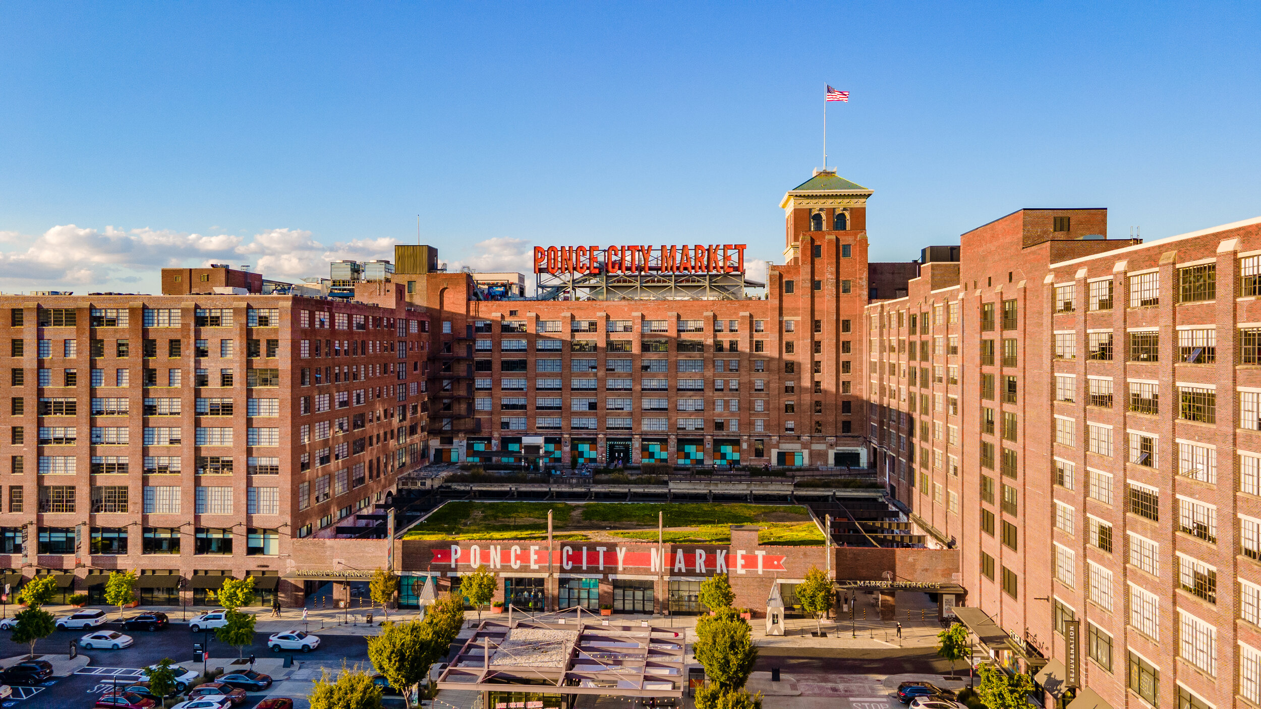
Commercial Real Estate Media
Commercial photography and aerial films that connect a property to the location, access, and surroundings that give it context.
Explore the service ↗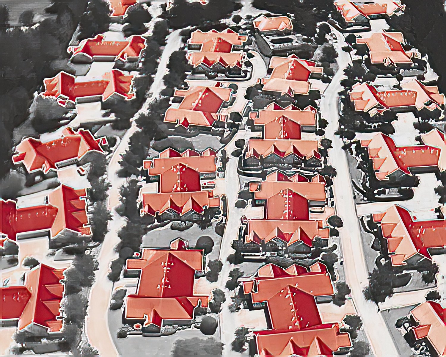
Thermal Imaging
Thermal imagery adds a different perspective on roofs, facilities, and assets, helping project teams identify areas for closer attention.
Explore the service ↗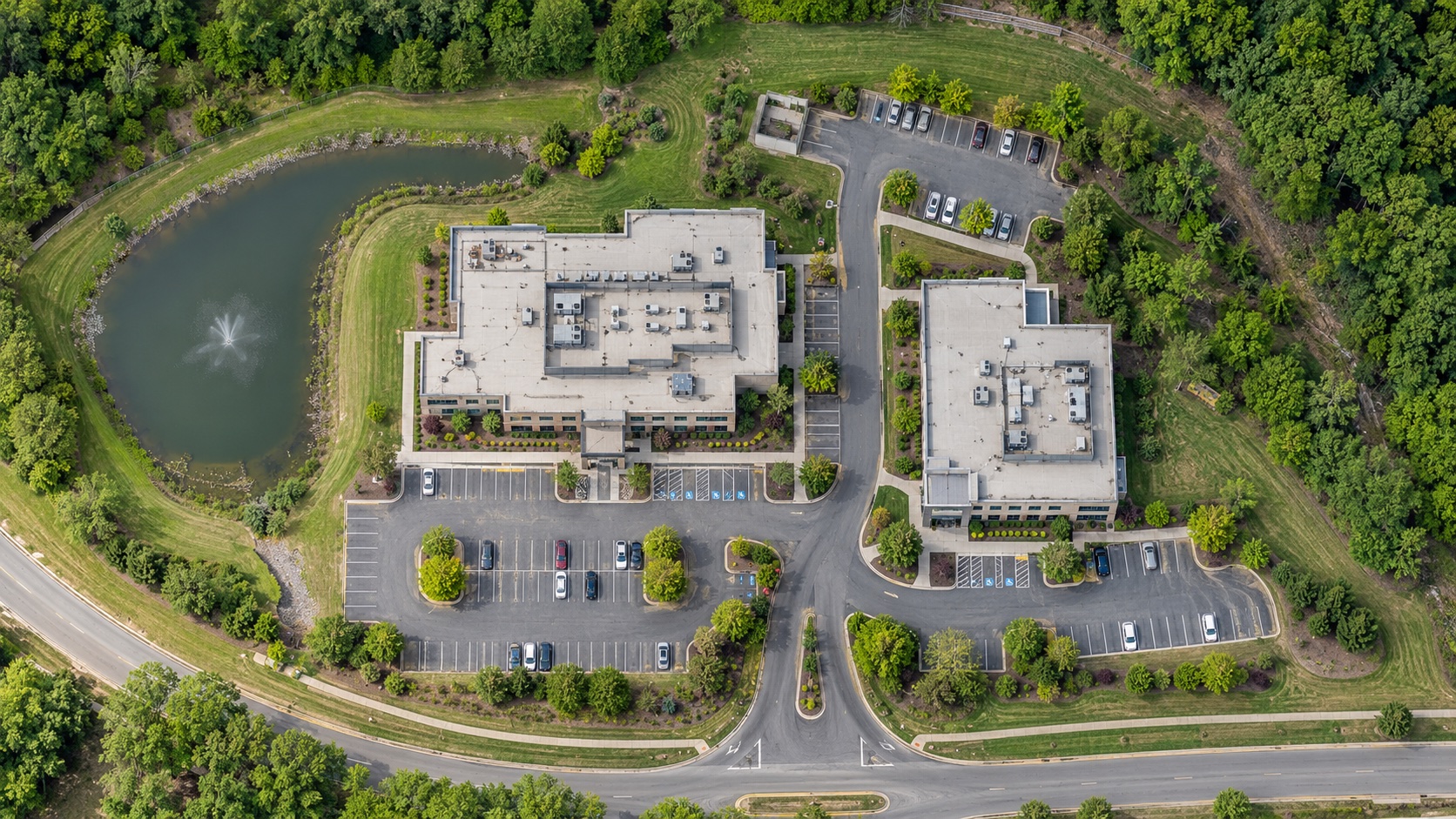
Mapping & Site Imaging
Aerial mapping and site imaging that bring buildings, terrain, and surrounding features into a connected visual context.
Capability visualization / An example of an overhead site perspectiveExplore the service ↗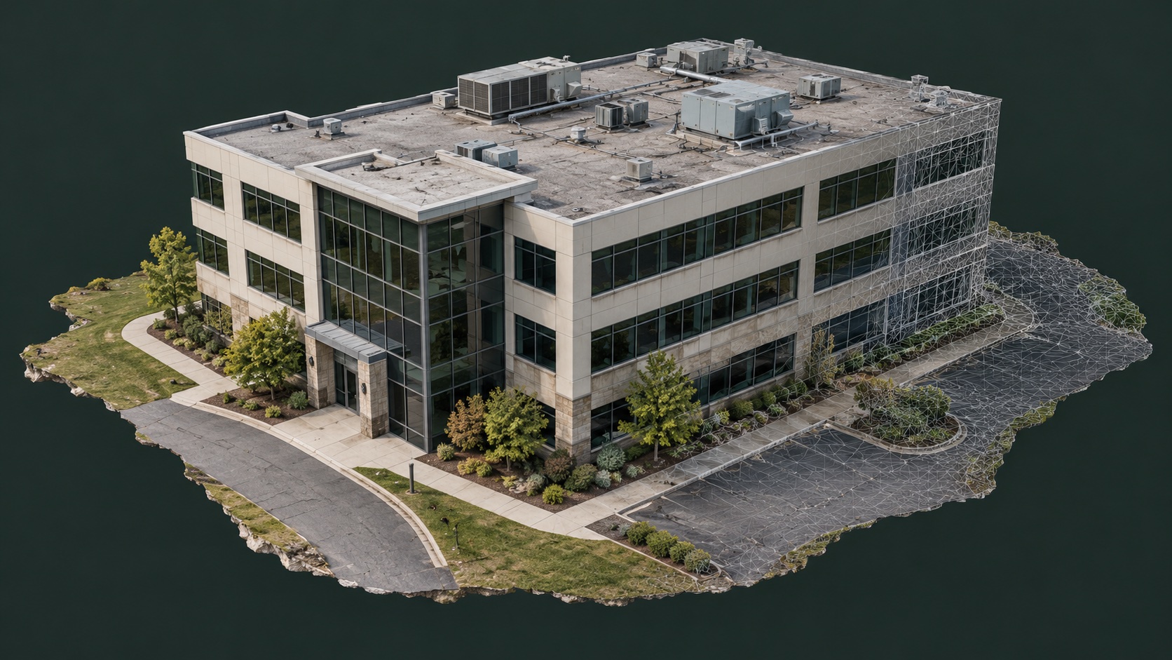
3D Modeling & Digital Twins
Connected aerial and ground imaging for a spatial perspective on buildings, site relationships, and visible exterior details.
Capability visualization / A textured building model conceptExplore the service ↗LET’S DEFINE THE BRIEF