SKY360° AERIAL MEDIA
PROFESSIONAL DRONE SERVICES
Sky360 is a leader in professional drone services, delivering professional aerial imagery and detailed data collection. We provide a true start to finish solution including flight planning, aerial imagery, data capture with advanced processing and analytics enabling our clients to capture maximum value and critical insights.
Whether you require highly detailed aerial photography for real estate or land development, actionable data or 3D mapping of agriculture, facilities or infrastructure, we have highly experienced drone pilots ready to meet your needs.
We offer a full suite of aerial photography, videography and imaging as well as full-service video production, editing, data post-processing and support services. In addition to filming from above, we also support our aerial operations with expert ground-based photography and videography as well.
We specialize IN
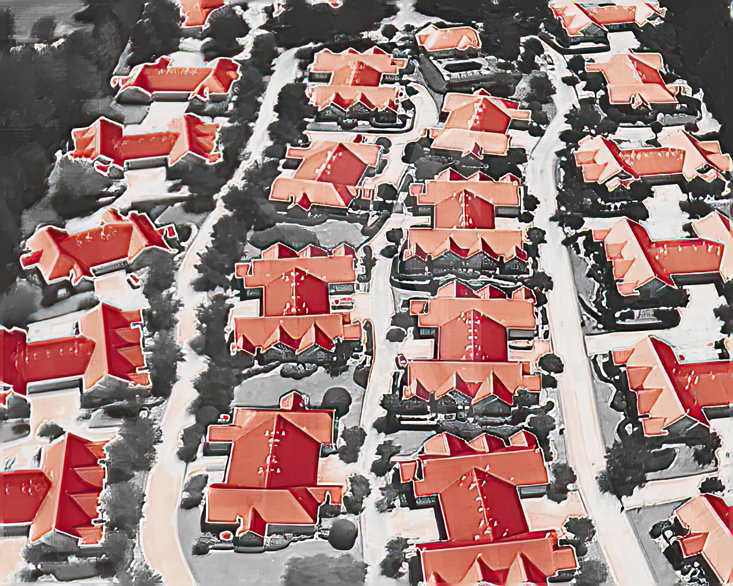
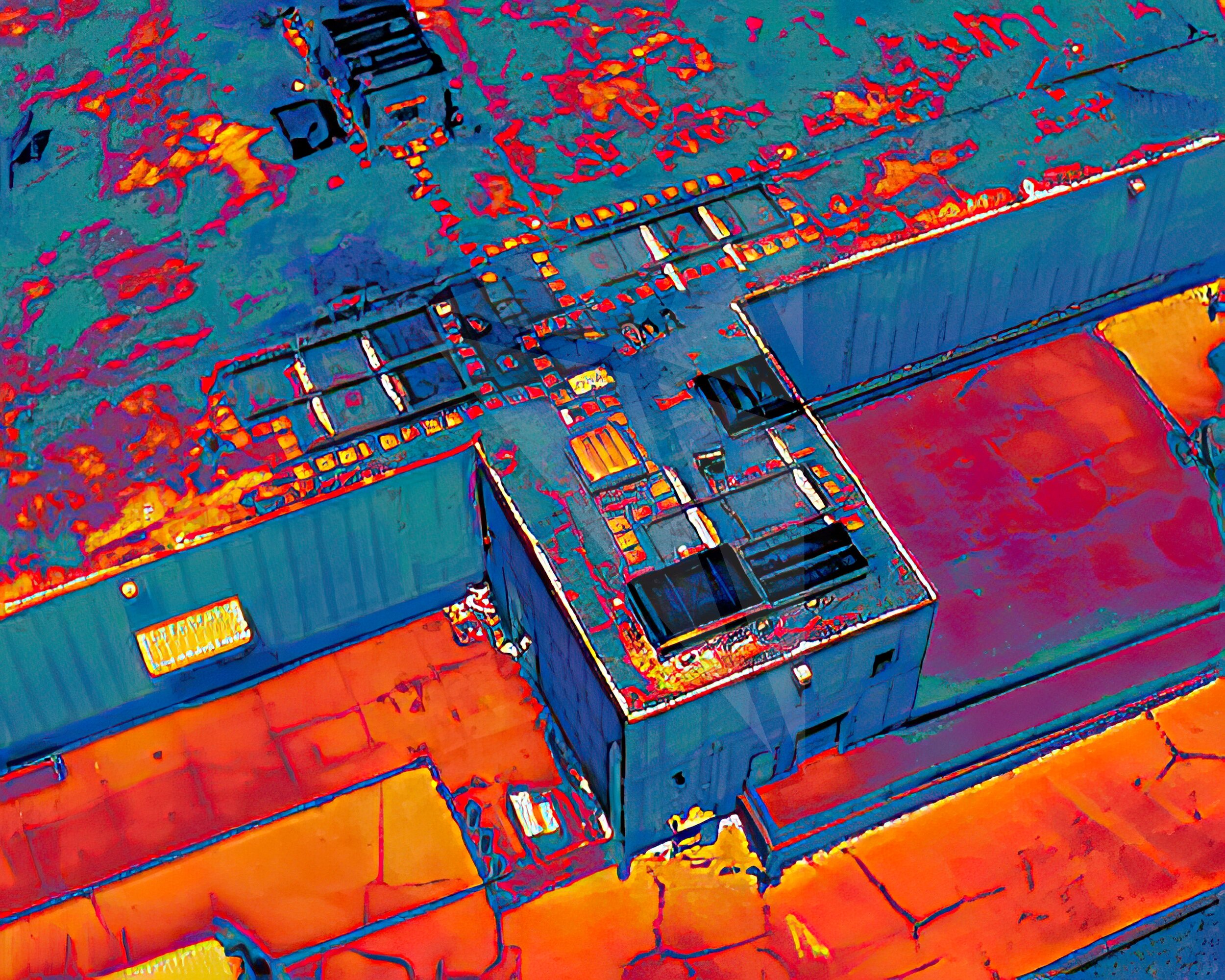
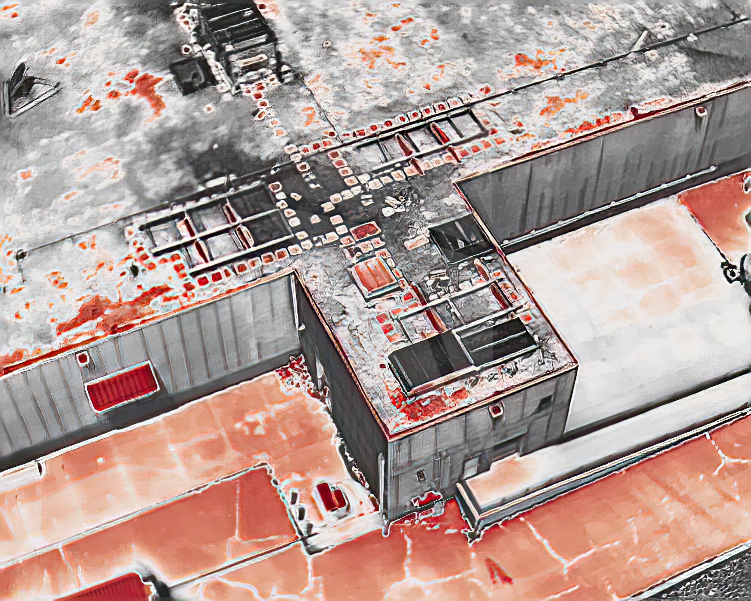
Aerial 3D Modeling and Mapping: Precise 2D / 3D models and maps created from aerial data to assist with building inspections, planning, and asset management.
Building and Asset Inspections: High-resolution imagery and data collection for hard-to-reach areas like utility towers, solar arrays and high-elevation facades.
Interior 3D Imaging and Digital Twins: Ground-based 3D imaging technology to capture detailed internal models of facilities, delivering a complete digital twin of the entire asset.
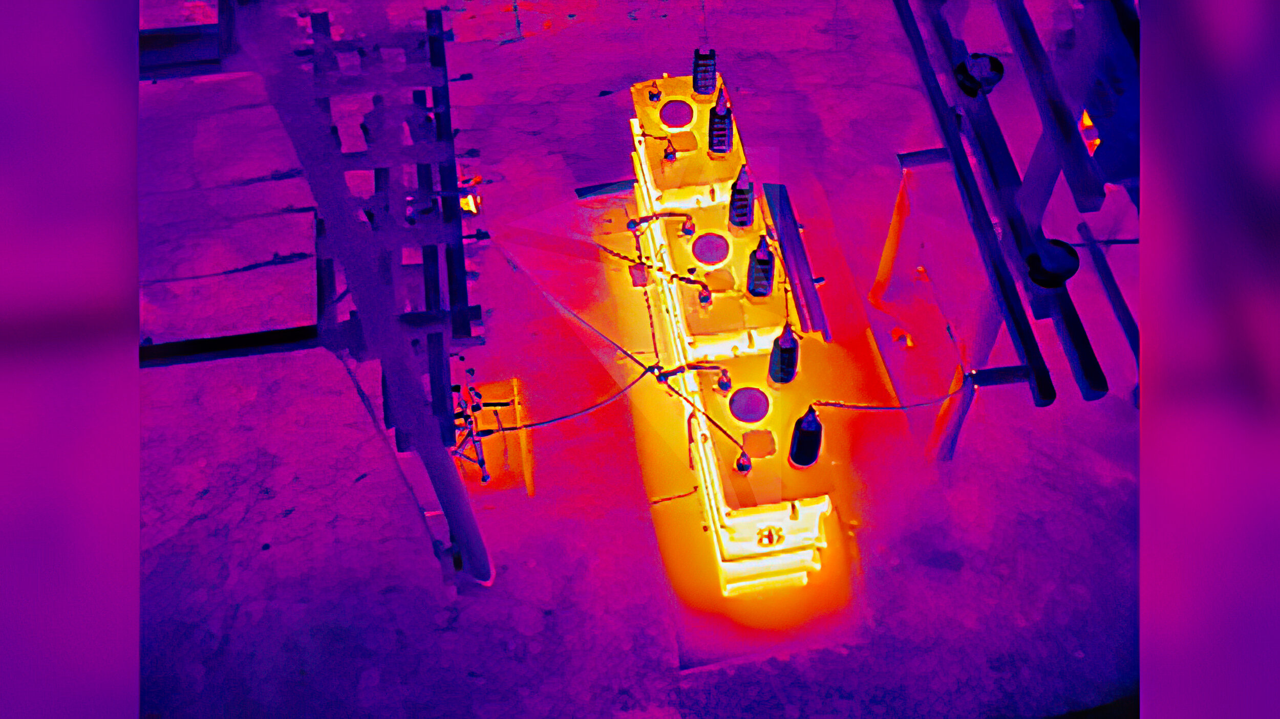
Thermal Imaging and Inspection Reports: Detailed thermal imaging to assess building insulation, detect leaks, and perform energy efficiency audits.
Commercial Real Estate Marketing Photography and Video: Professionally captured and edited visuals to showcase commercial properties.
Land Marketing Photography and Video: High-quality aerial imagery and video to highlight large plots of land for marketing and inspection.
Terrain Survey Flight Missions: Automated drone missions using terrain-follow technology for accurate data collection in varied landscapes
3D Mapping and Asset Digital Twins
In today's fast-paced world, building owners and engineers are increasingly reliant on innovative technology to maintain their assets and improve operational efficiency. At Sky360, we are revolutionizing the way professionals conduct building and asset inspections through our advanced aerial and ground 3D mapping solutions. Whether you need to inspect facades, roofs, or hard-to-reach areas of a skyscraper or large facility, our drone technology allows you to access detailed, high-resolution data safely and efficiently.
Learn how Sky360 Aerial Media leverages drone technology to capture detailed 3D mapping data for building inspections, improving accuracy, safety, and collaboration for engineers and building owners. Discover the benefits of aerial data for facade inspections, asset management, and maintenance planning.
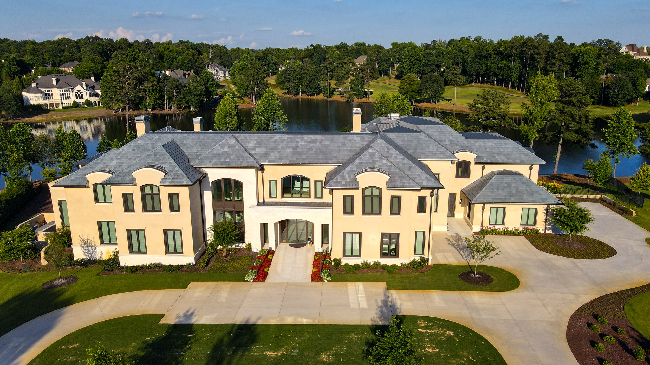
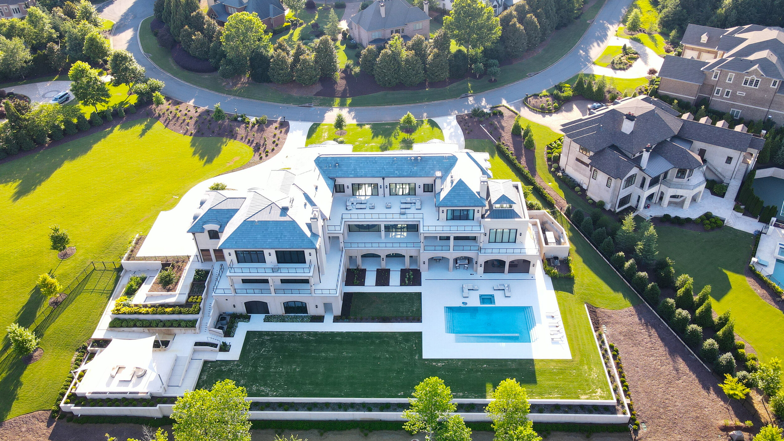
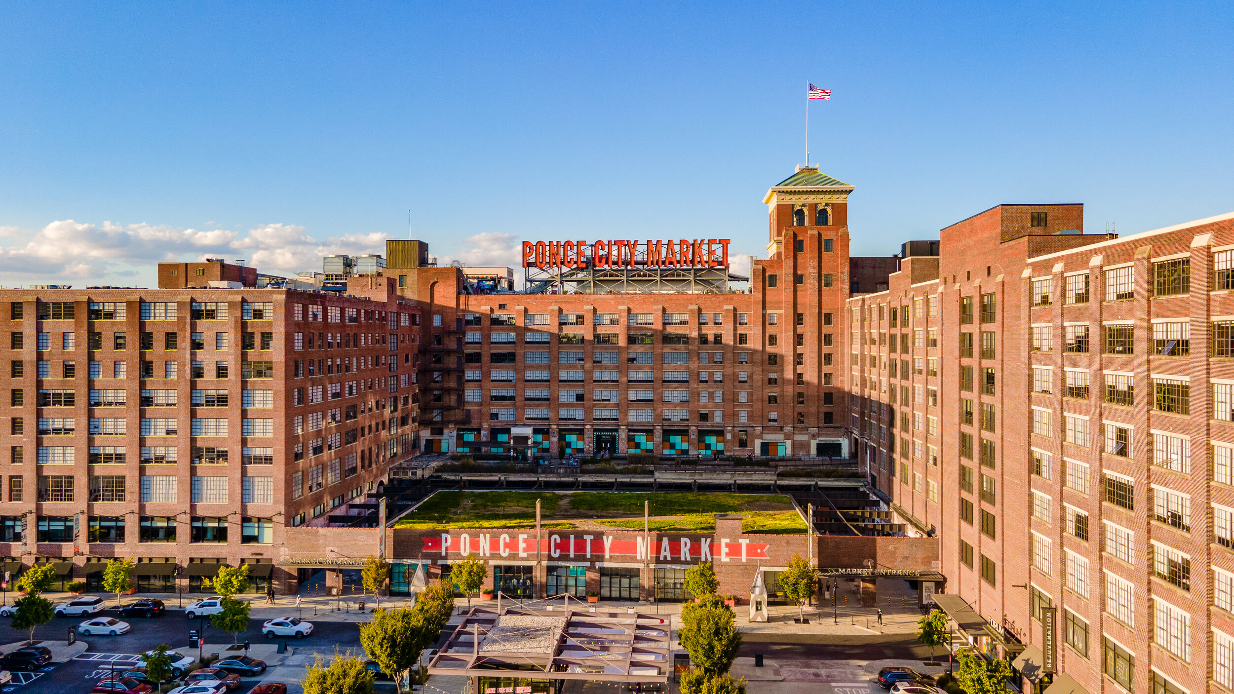
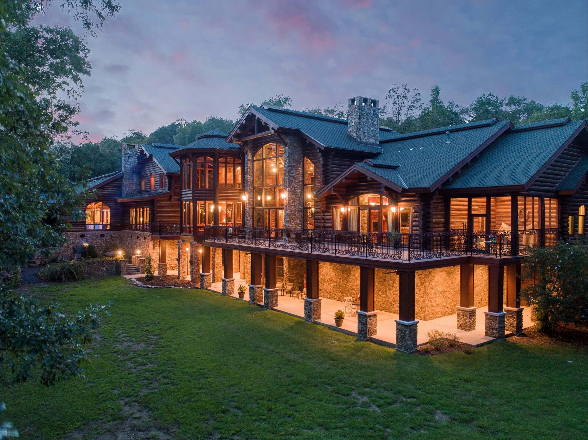
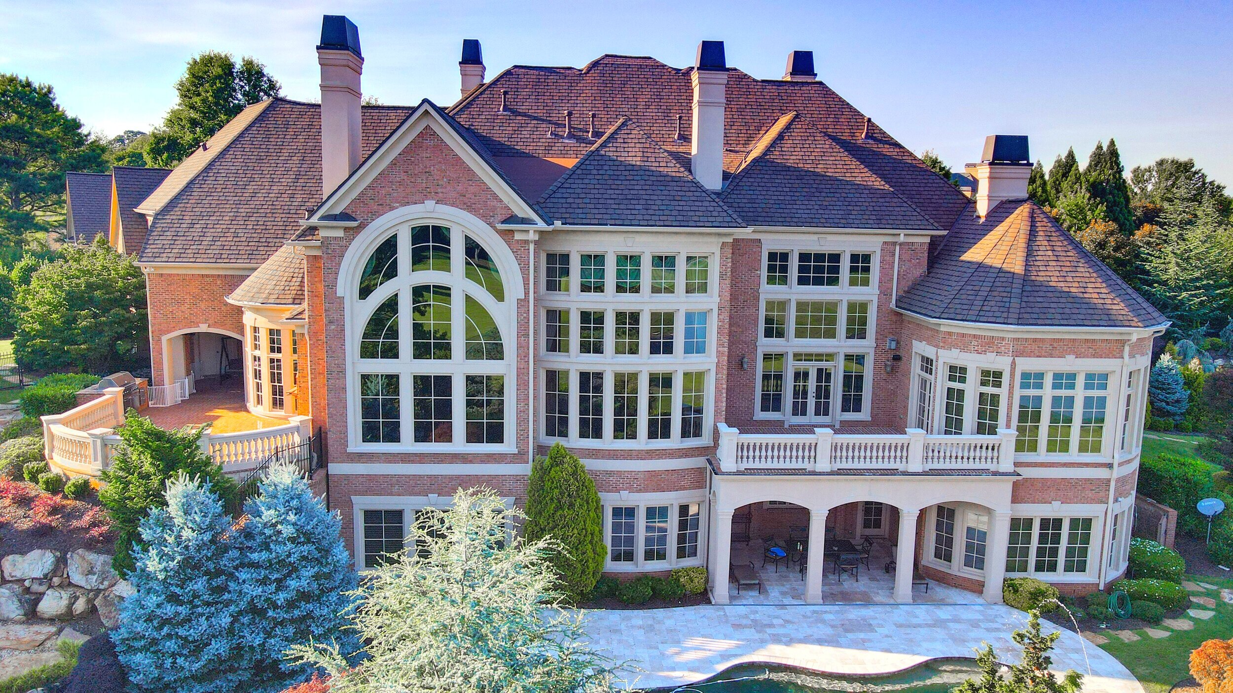
REAL ESTATE MARKETING
Successful agents and brokerages understand that if you want your listing to be noticed in today’s highly competitive market, you need breathtaking imagery that will wow your clients immediately. Let us do the hard work for you. We are extremely fast, reliable and safe and will deliver only the highest quality images so that you can sell your property fast.
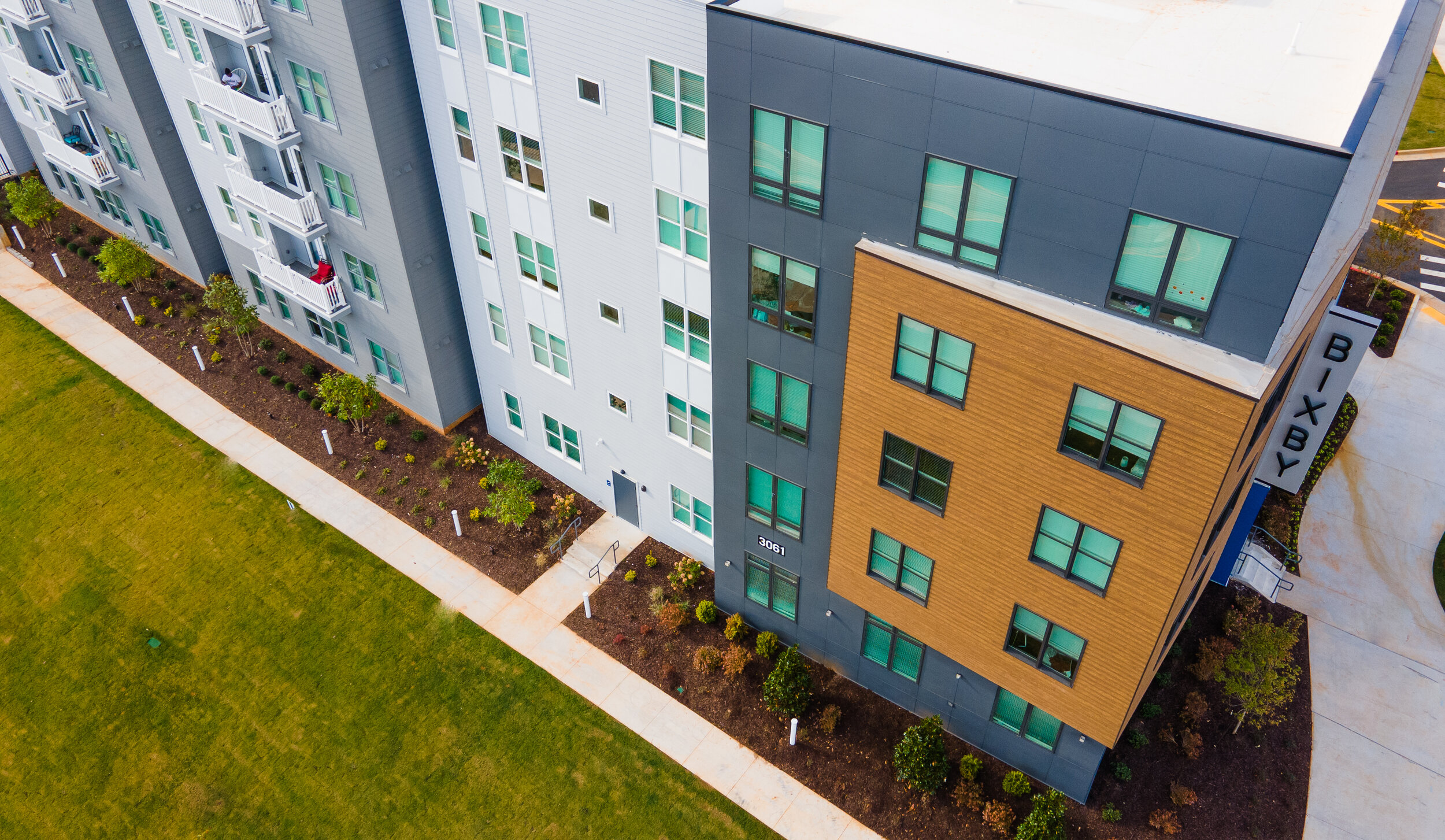
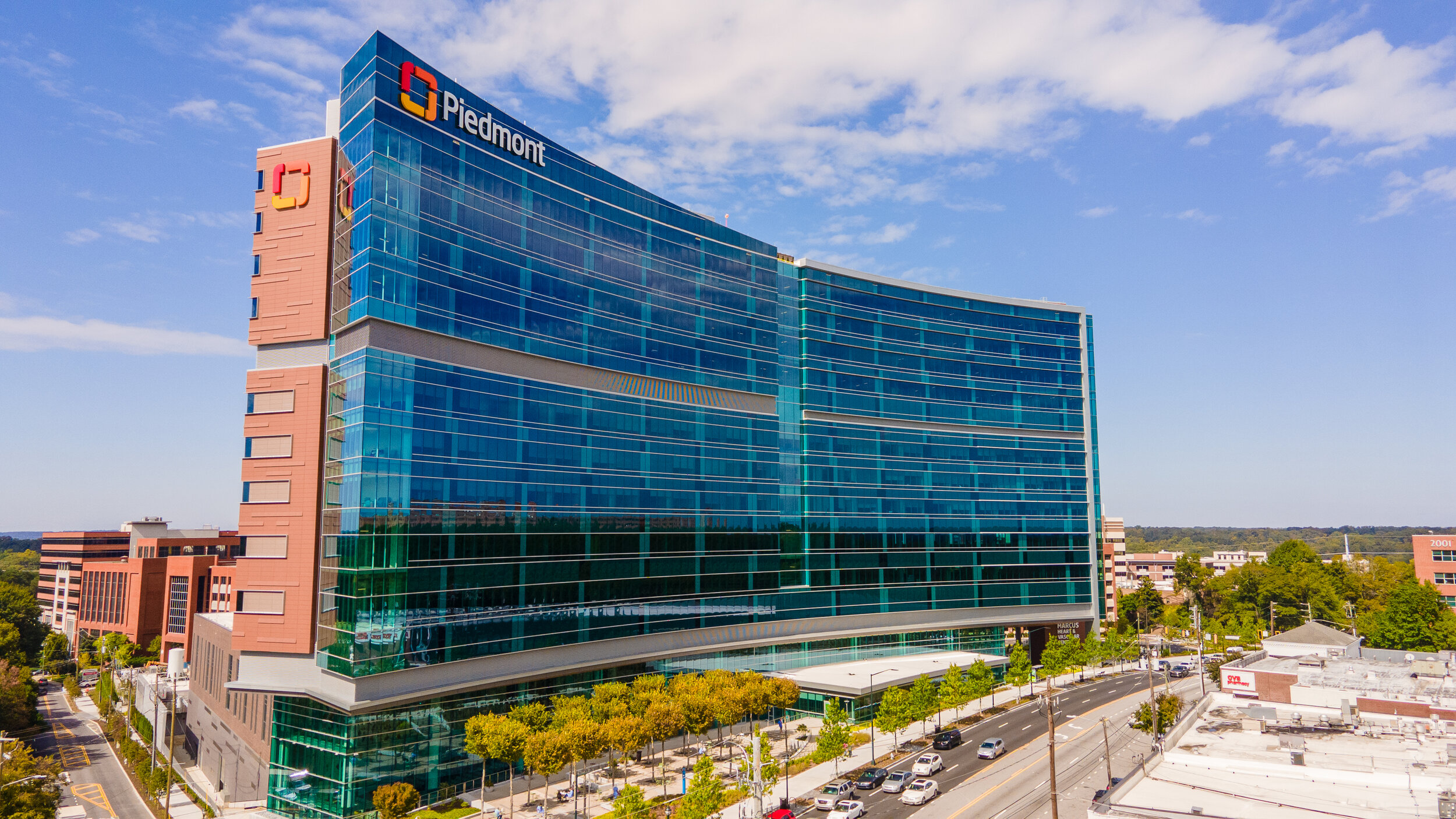
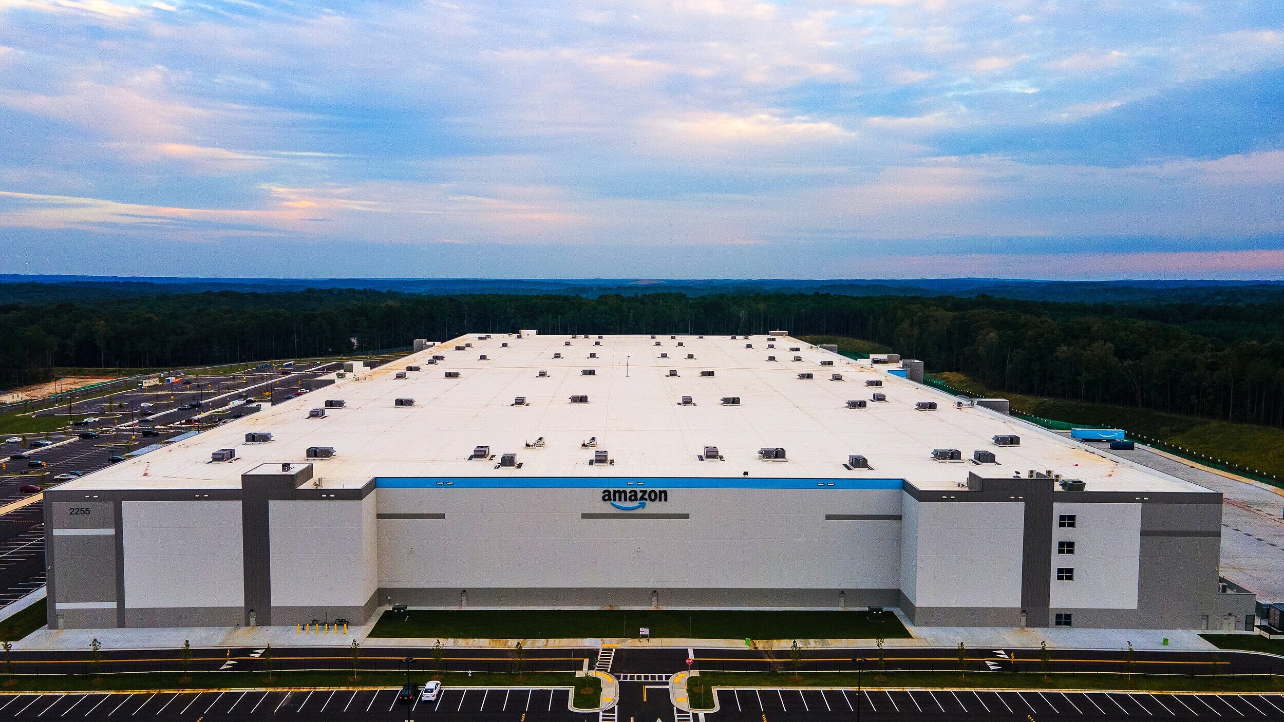

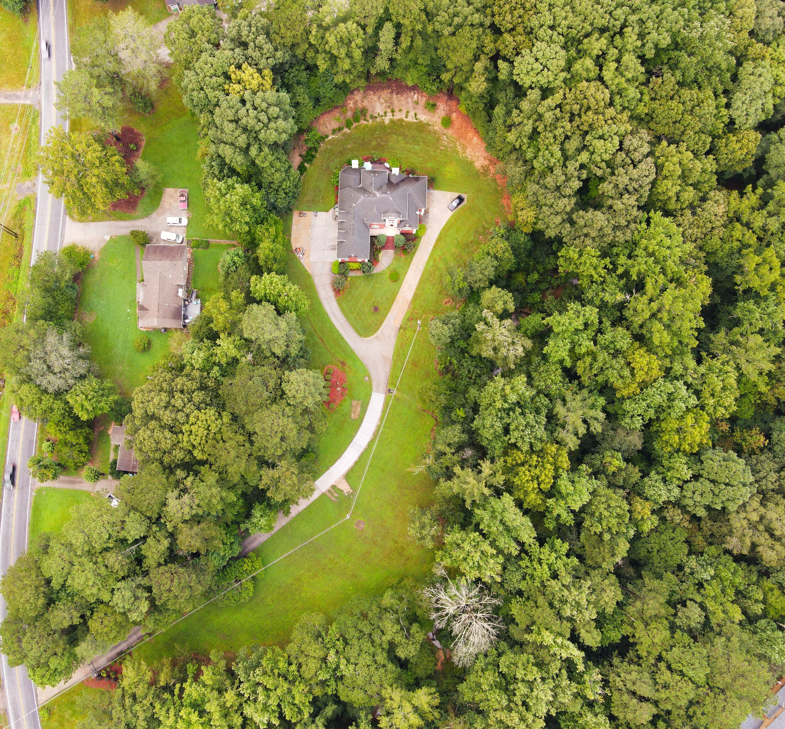
CONSTRUCTION IMAGERY
Capturing your project from conception through execution is critical. We understand how necessary it can be to review phases of development, account for assets, track progression and showcase completion. We are here as your off-site media department to help you get the shots you need, in perfect detail, with extremely fast turnaround and excellent service. Contact us today so we can discuss your next big project.
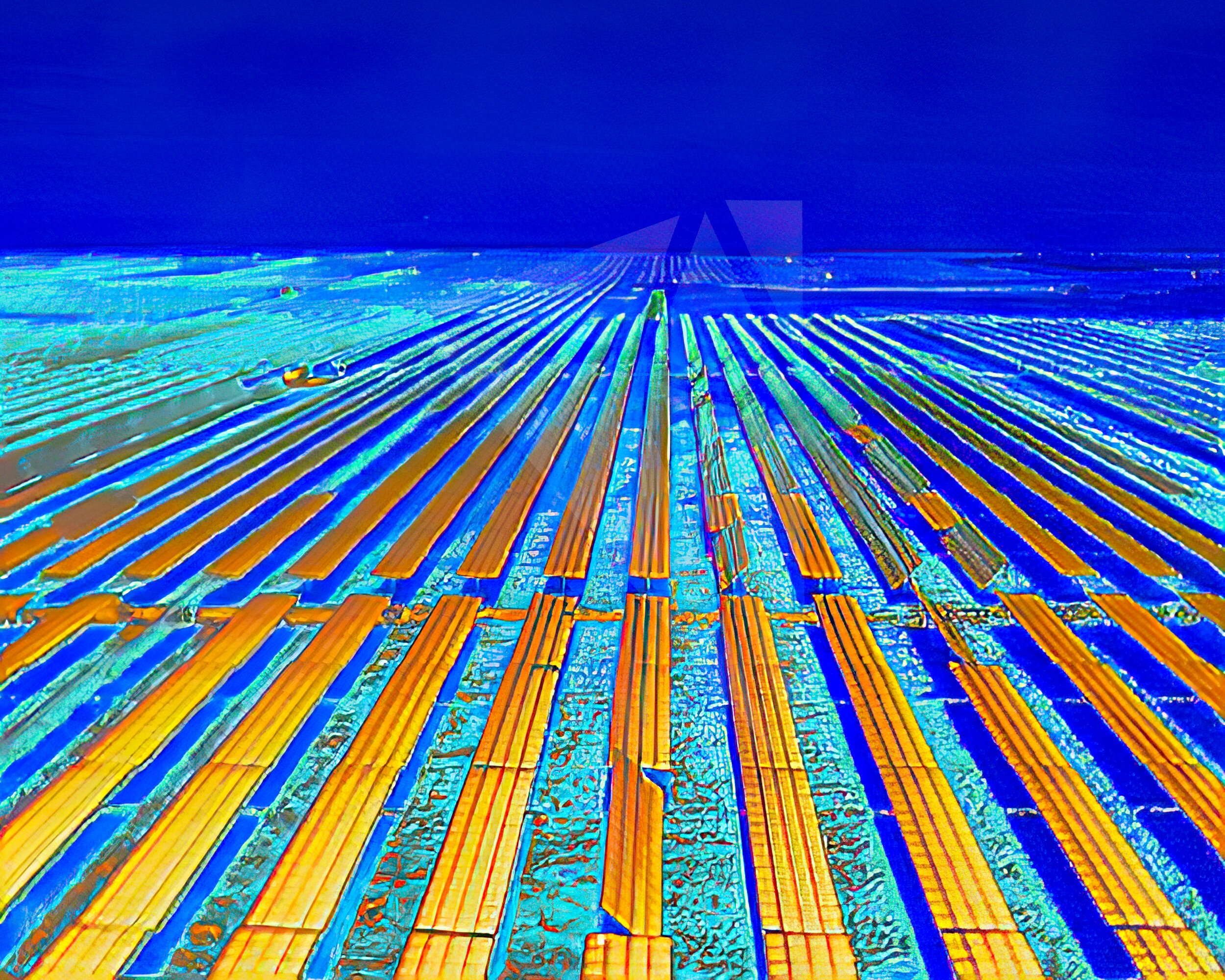
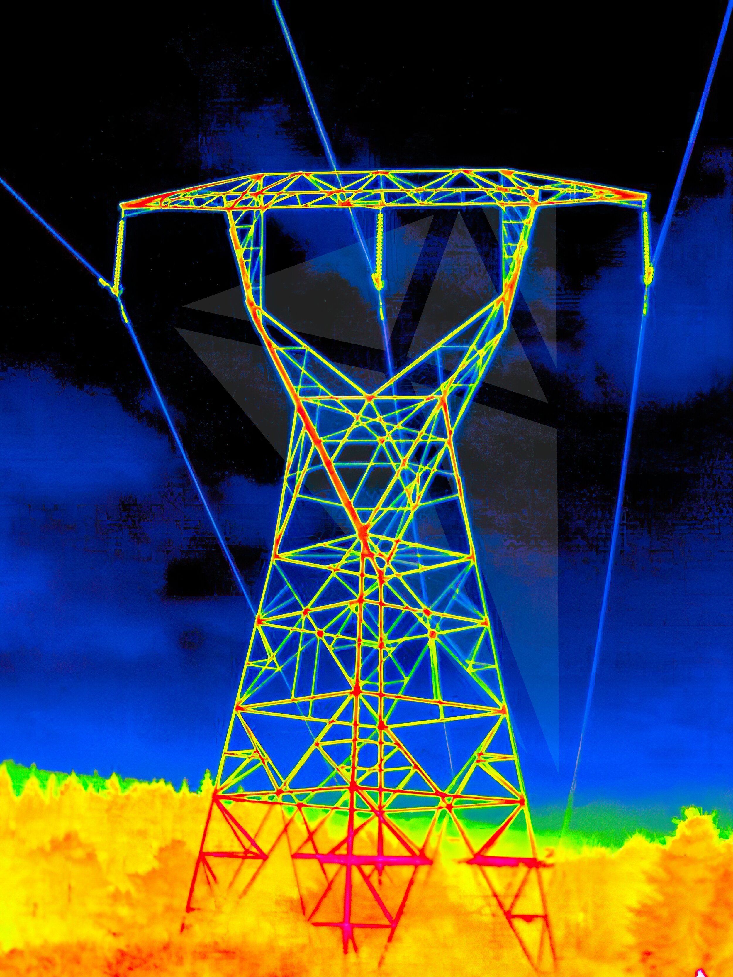
THERMAL IMAGING
Sometimes in order to understand an issue, you need to see a little deeper. We can help you look beneath the surface with our cutting-edge, radiometric thermal imaging tools, helping you to save dozens of man hours, work safer and much faster. We utilize the most sophisticated thermal imaging drones and cameras to help identify moisture penetration or weather damage on roofs, inefficiencies in insulation or anomalies with HVAC or other hard to reach installations. We provide in-depth reports and actionable data so that you can make confident decisions based on accurate data. Whether identifying hot spots on solar panels or power lines, conducting structural inspections on bridges or tracking illegal activity – we help you get the job done like a pro.
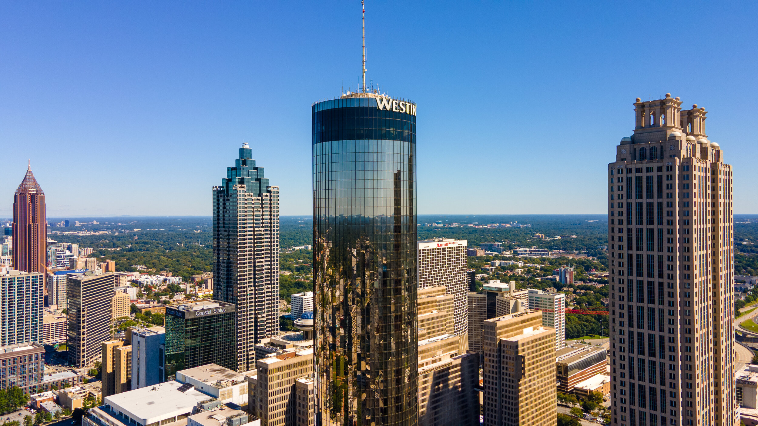
CINEMATOGRAPHY
We make you look good. Real good. Let us take your marketing media to new heights with our highly creative perspectives that will set you apart from the crowd. We want to help you tell your story in the most awe-inspiring fashion possible. We’re ready to handle all filming and editing with fast and reliable turnaround that you can trust.


At Sky360 Aerial Media, we provide cutting-edge drone services for real estate, construction development, asset inspections, and business marketing. Our high-resolution aerial imagery and 3D data solutions help clients capture stunning visuals and actionable insights. We combine drone technology with advanced ground-based imaging to deliver professional-grade media tailored to your needs.Whether you're seeking detailed 3D mapping, thermal imaging, or high-quality photos and video for real estate marketing or facility inspections, our expert pilots are FAA Part 107 licensed and fully insured. We are authorized to operate across North America, including complex environments like urban areas, at night, or over people.Our full-service offerings include aerial and ground-based photography, cinematography, 3D modeling, and post-production editing. From real estate to industrial inspections, we provide seamless integration of advanced technologies to ensure you receive the highest quality deliverables.CONTACT US TODAY SO WE CAN DISCUSS YOUR NEXT PROJECT OR EVENT.Services
Airspace Clearance, Coordination, and Flight Authorizations
High-Resolution Aerial Photography and Cinematography
Orthomosaic Mapping and Precise 2D / 3D Digital Twin Modeling
Construction Progress Tracking and Project Documentation
Utility, Facility, and Infrastructure Inspections
Event Coverage (Weddings, Concerts, and Special Events)
Radiometric Thermal Imaging for Solar and Roof Inspections
Multispectral Imaging for Agricultural and Environmental Management
Public Safety, First Responder, and Law Enforcement Drone Support
Professional Color Grading and Post-Processing
Full-Service Video Production and Editing