
GEORGIA / MAPPING & SITE IMAGING
Connect the site.
Clarify the picture.
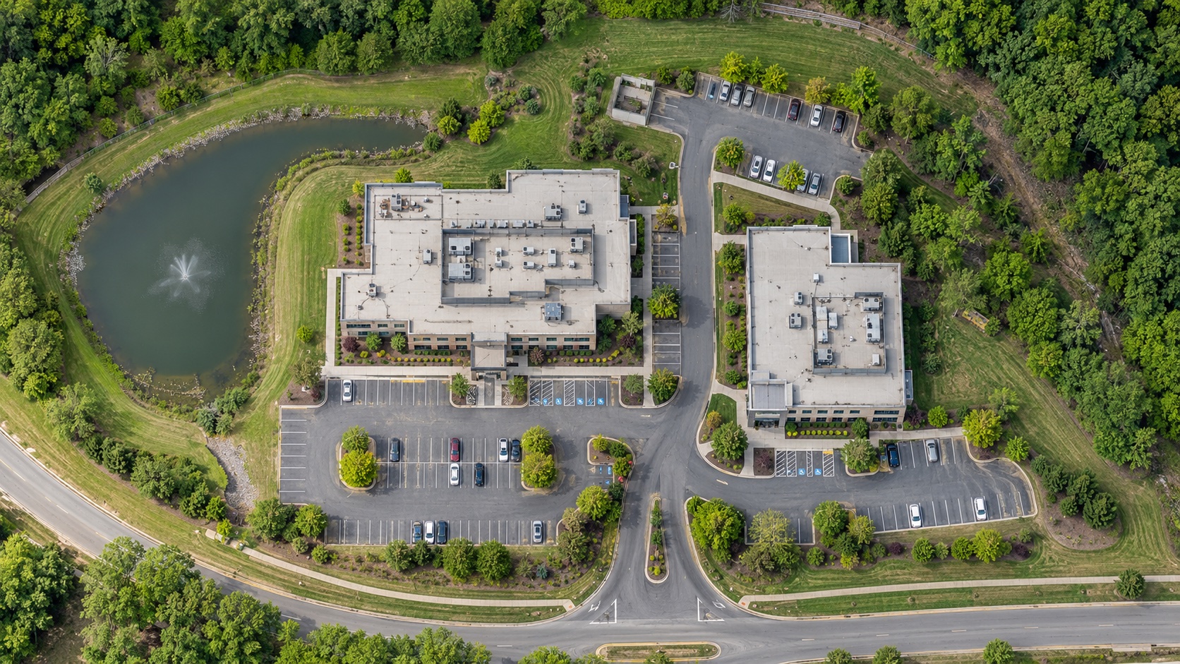
Aerial mapping and site imaging that bring buildings, terrain, and surrounding features into a connected visual context.
FOR DEVELOPERS, CONSTRUCTION TEAMS & PROPERTY MANAGERS
Choose the output
before the flight.
A photograph, a connected overhead image, and a three-dimensional site capture serve different purposes. Begin with the decision you need to make and the people who will use the result. We can discuss an imaging scope that fits the site and your intended workflow.
THE RIGHT CAPTURE / THE RIGHT PURPOSE
Built around your brief.
Agree the scope, outputs, and delivery
before capture begins.
- 01
Orthomosaic imagery
Discuss a connected overhead perspective for understanding the relationship between visible site features.
- 02
Terrain and site capture
Document the wider site and its surroundings to support planning conversations and ongoing project records.
- 03
Project documentation
Agree the coverage, repeat viewpoints, output requirements, and delivery approach around how your team will use the imagery.
SKY360 / IN MOTION
Mapping and asset imaging in motion
Explore Sky360’s aerial mapping and asset inspection capabilities.
Watch on YouTube ↗A CLEARER UNDERSTANDING
A shared reference
for the project team.
Connected imagery can help teams discuss a site using a common visual reference. If a project requires measurement, specific accuracy, coordinate systems, or particular software formats, those requirements need to be discussed and confirmed before capture. General site imagery should not be assumed to meet survey or engineering requirements.
START WITH THE PURPOSE
A useful first conversation.
Share what you know. We’ll help identify the right imaging approach.
- 01Site location and approximate extent
- 02The decision or documentation objective
- 03Required formats, software, coordinates, or accuracy expectations
- 04Existing reference material and desired capture timing
BEFORE WE BEGIN
A few useful answers.
How does mapping differ from aerial photography?
+
Individual photographs show a site from selected viewpoints. An orthomosaic brings captured views into a connected overhead representation. The right choice depends on whether you need a marketing perspective, visual documentation, or a specifically defined technical output.
Can I use the imagery for measurements?
+
Tell us exactly what you intend to measure and the accuracy you require. Those requirements must be scoped and confirmed; do not assume general aerial imagery meets a particular survey, design, or engineering standard.
What files will I receive?
+
Delivery formats and requirements should be agreed before capture. Share the software and workflow your team uses so we can confirm the appropriate outputs rather than assume a format.
FIELD NOTES / RELATED PERSPECTIVES
Look a little closer.
YOUR NEXT PERSPECTIVE / GEORGIA