SKY360 / THE JOURNAL
Parcel Boundary Overlays for Land Listings: What They Show and What They Don’t
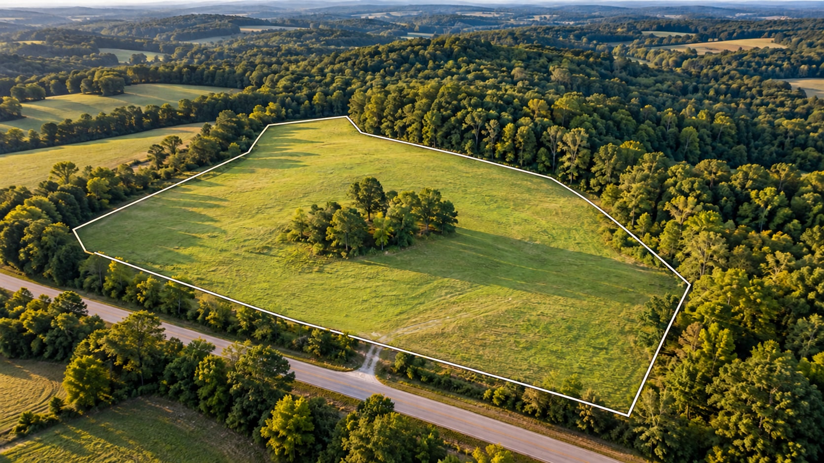
A beautiful aerial photograph can show a property’s setting. A parcel outline helps answer the question a buyer often asks next: which part of this view is the land being offered?
For land brokers marketing property in Georgia, that distinction matters. Trees, open fields, neighboring improvements, and roads can make the subject parcel difficult to recognize in an unmarked image. A carefully prepared boundary overlay gives the viewer a visual reference while keeping the surrounding landscape in view.
What is a parcel boundary overlay?
It is a graphic placed over a photograph or video to illustrate a parcel using supplied boundary information. The treatment might be a simple line, a shaded area, or an outline that follows the parcel as the camera moves.
The overlay is part of the presentation. Its usefulness depends on the source information, how it is aligned to the imagery, and whether the viewer understands what it represents.
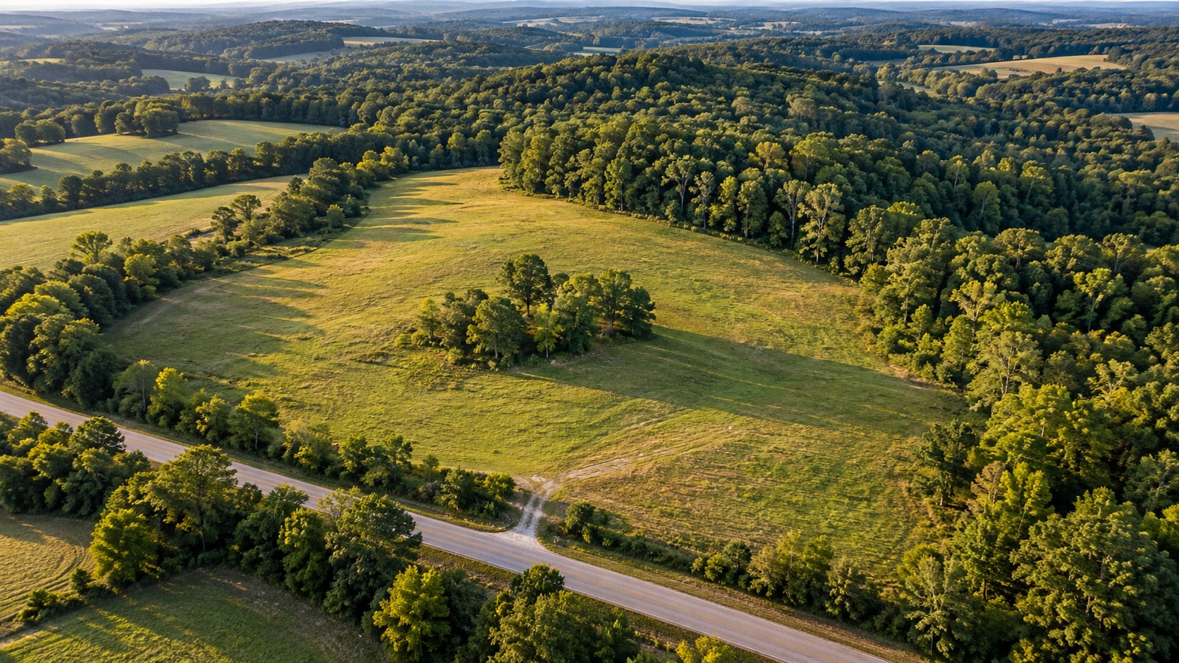
The unmarked view shows the land and its surroundings.
An outline brings the subject parcel into focus.
A parcel example from Bibb County
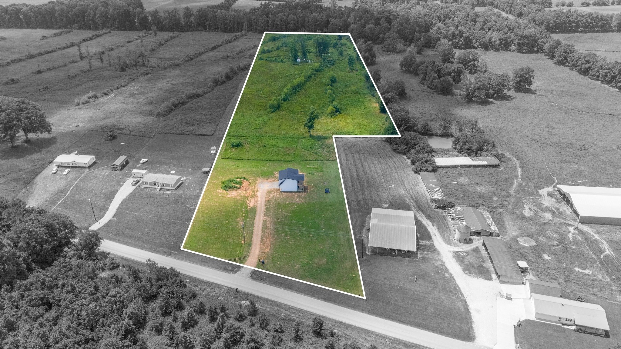
This Sky360 example shows how an outline distinguishes a wooded parcel from neighboring homes and yards while retaining the surrounding street for context. The original graphic labels the property as 0.52 acres.
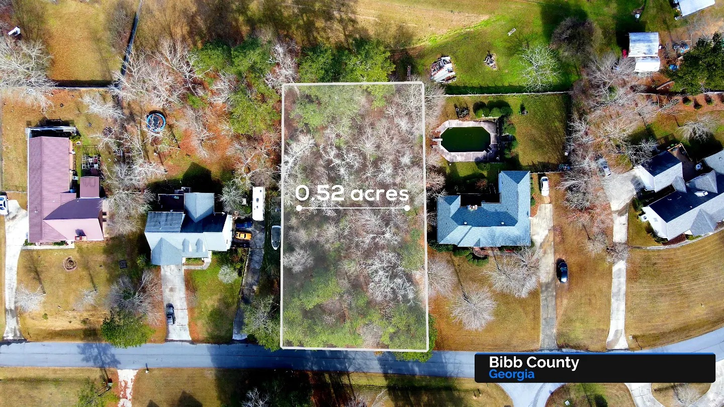
View the before-and-after treatment in the original Instagram carousel →
Three things a good overlay helps explain
1. Which land belongs to the listing
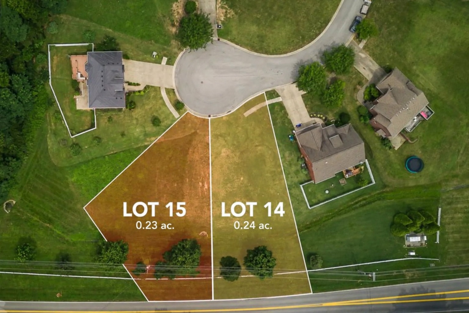
A visible outline helps separate the subject parcel from adjoining land. That is especially useful when neighboring properties have similar vegetation or when an irregular parcel is difficult to describe in a listing paragraph.
2. How the parcel sits within its surroundings
An aerial view can put the outlined area in context with nearby roads, buildings, tree cover, and open spaces. A wider perspective establishes the setting; a closer view helps the audience examine visible features.
3. What to ask about next
The image can guide a more useful conversation. A buyer might ask about an apparent entrance, a change in terrain, or an improvement near the depicted edge. Those questions can then be checked against the appropriate records and site information.
What an overlay does not establish
A marketing outline is not a boundary survey. It should not be used to locate legal corners, resolve an encroachment, or establish ownership. A line drawn convincingly on a photograph does not make its position legally authoritative.
Likewise, a visible road or track does not by itself establish a right of access. The appearance of an open area does not establish that it can be developed. Acreage, access rights, utilities, zoning, and other transaction details need their own appropriate documentation and verification.
The practical distinction is simple: use the image to explain the property and identify questions, then use the relevant documents and qualified professionals to resolve those questions.
How to brief a land-media project
Before a shoot or edit, gather the information needed to depict the correct parcel:
- Identify the subject clearly. Include the property location and the parcel or parcels being marketed.
- Provide the boundary source. Share the available boundary file, survey, plat, or reference material, and identify its source. Confirm what can be used before production begins.
- Flag anything uncertain. Explain discrepancies, adjoining parcels, or features that should not be implied to belong to the listing.
- State the audience and purpose. A listing film, broker presentation, and initial site review may need different views.
- List the important visible features. Tell the imaging team which approaches, improvements, surroundings, or landscape features deserve attention.
- Review the draft overlay. Check the depiction against the supplied reference before approving the final marketing materials.
Choose views that explain the land
A single outline cannot tell the whole story. A useful sequence might begin with a wide view of the setting, move closer to the subject parcel, and finish with details of key visible features. The outline should support those views without obscuring the imagery.
For video, restrained graphics can help the audience follow the parcel as the perspective changes. For listing photographs, a clear overview can work alongside unmarked images that let the landscape speak for itself.
You can see an example of Sky360’s land storytelling in our land marketing reel. For the broader role of aerial imagery in a land listing, read our guide to showcasing the potential of raw land.
Bring the parcel into focus
Sky360 Aerial Media creates land photography and films for marketing and due diligence projects across Georgia. If you are preparing a listing, send us the location, your objectives, and the boundary information you have available. We can discuss the right combination of aerial views and graphic presentation for your project.